Farm Plans
Farm Conservation Plans - A Blueprint for Sustainability:
The farmer, working with technical experts from CLSI, completes a Farm Conservation Plan: a comprehensive inventory and assessment of natural resources, agricultural lands and management practices. The Farm Conservation Plan is a strategy for implementing Beneficial Management Practices (BMPs) and guides the improvement of land management practices and the implementation of projects for a specific property. Each Plan is unique, addressing the features and conditions of a particular property.
Beneficial Management Practices (BMPs):
The protection and enhancement of salmon and trout habitat forms the basis of the Beneficial Management Practices (BMPs) and all FFF projects. For example, the fish require cold, high-quality water for all stages of their life in fresh water. Fine sediment from soil erosion is a major contaminant that degrades fish habitat and water quality. There are BMPs for each crop we certify that address cultural practices of that crop.
Soil Conservation:
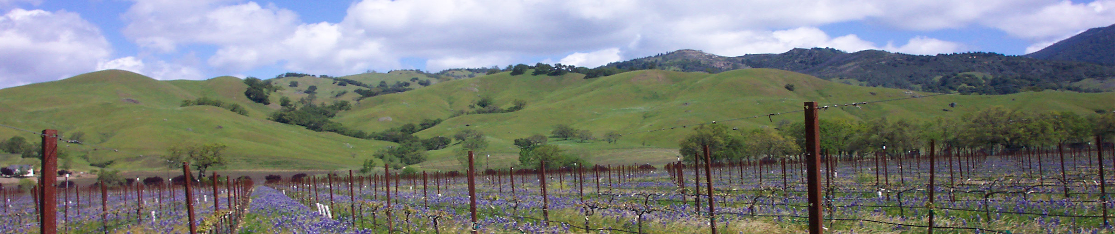
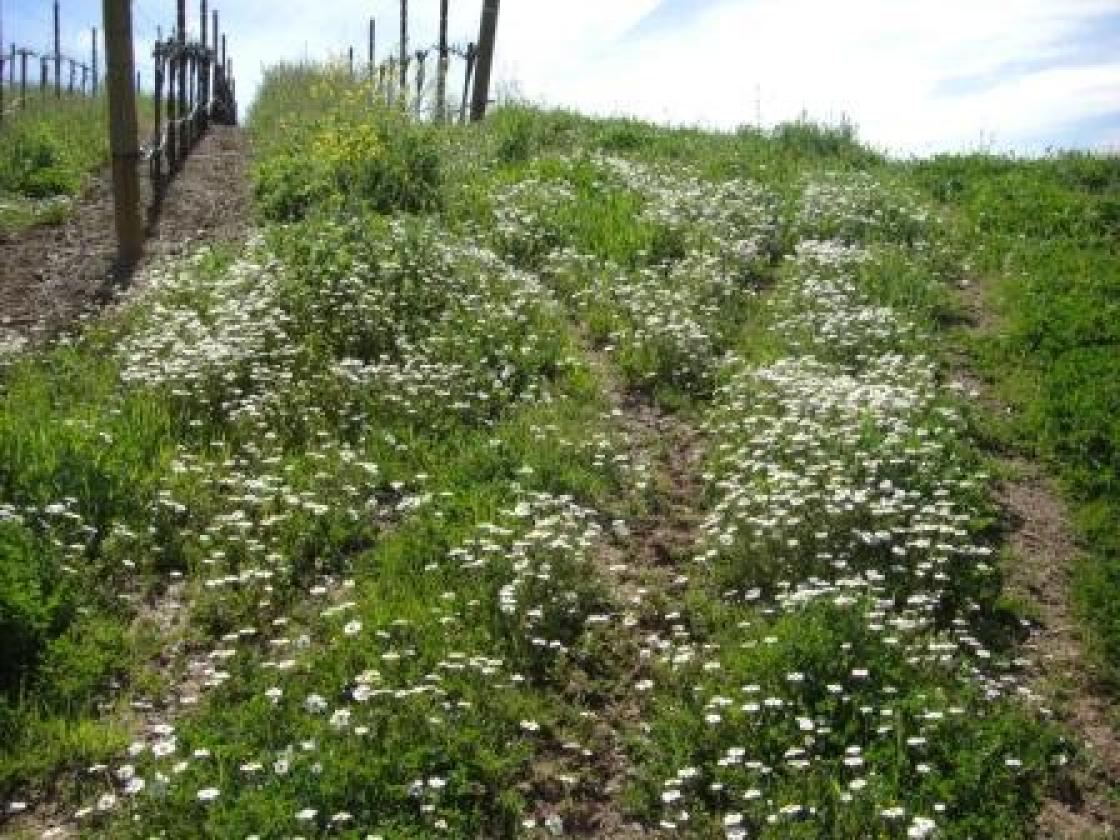
For vineyards and orchards must be fully winterized with cover crops of dense grass on the entire vineyard floor, and along field roads and tractor turn-arounds. For field crops grass filter strips and cover crops may be most appropriate for soil conservation. Grazing land is evaluated for residual dry matter. All roads on the property are assessed by a professional as roads are the main source of mud in creeks. Soil types, slopes, winterization practices, drainage systems, road culverts and ditches, and erosion sites remaining from previous land uses are all inventoried and improvements and any needed repairs specified in the Farm Conservation Plan.
Creek Network:
All portions of the creek system on the property are mapped and inventoried. Hillside vineyards and orchards may have ephemeral creeks lined with oaks or other trees. Ephemeral creeks (also called Class III water courses) typically are steep and only carry water in large storms, but are often sites of soil erosion. The Farm Conservation Plan documents the condition of each creek and identifies the need for erosion repairs or native plant revegetation. Further, the Plan inventories the vineyard/orchard/field drainage system and road system that may affect ephemeral creeks, assesses the potential for soil erosion, and specifies improvements to avoid future erosion.
Water Conservation:
Water conservation and agricultural water sources are also addressed in the Farm Conservation Plan. Vineyards usually have drip irrigation and use less irrigation water than any other agricultural crop--significantly less than urban lawns and gardens. Vineyards that are barely irrigated produce a concentration of juices and flavors, making the fine wines for which California is known. Orchard water use varies with crop, but can be minimized through certain technologies. We focus on the water needs of each particular crop and the best available technology for conserving water. The source of water including wells, reservoirs, river and creeks is also evaluated for potential effects on fish habitats.
Limiting Chemical Use:
Chemical use in the vineyard including the storage site, mix and load site, method of application, frequency of use, and toxicity of each agricultural chemical to aquatic life are addressed in the BMPs. All potential contamination pathways are evaluated.
Restoring and Sustaining Riparian Corridors and Waterways:
Major creek and river corridors that can support salmon and trout, song and wading birds, ducks, river otters, raccoons, garter snakes, frogs, toads, deer and many other creatures are a major focus of the Farm Conservation Plan. Of course not all farms have creek and riparian habitats, but all the land in a drainage basin, or watershed, contributes to the quality of a creek and its habitats. Revegetating hillside creeks and repairing erosion sites and roads on watershed lands is essential to the protection and enhancement of downstream fish habitats and riparian corridors.
For those properties with major creeks, or river frontage, restoration of an ecologically-functional riparian dorridor is part of the Farm Conservation Plan. The creek is evaluated in detail. The width of the scour channel, riparian corridor, proximity of the vineyard and height of the banks are measured over the stretch of creek or river on the property. FFF program staff, working with the farmer, document plant diversity and distribution as well as the location and extent of infestations of invasive non-native species. The width of the riparian corridor to be restored is defined by the watershed acreage draining to the creek and a scientific method developed for the Russian River, Navarro River, Sonoma Creek, Gualala River, Napa River, and other nearby watersheds. This approach provides for a functional riparian corridor and creek channel while also sustaining agricultural use on the property.


