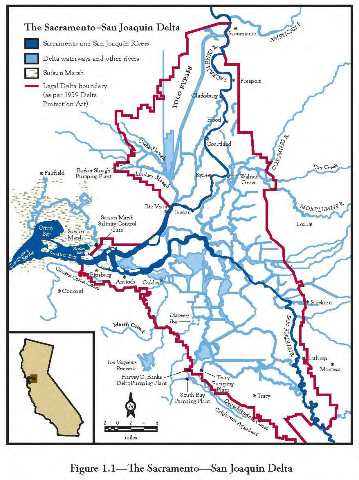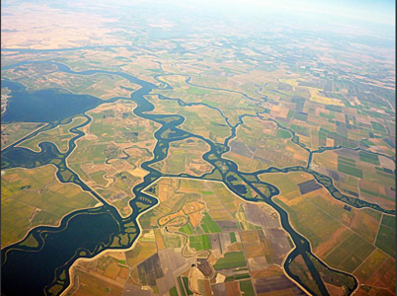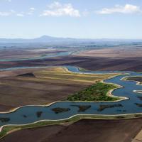
The Sacramento and San Joaquin Delta
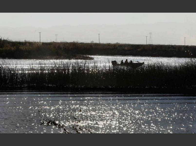
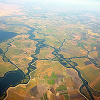
The Delta is a maze of islands, sloughs, ditches and channels. Once an extensive freshwater wetland, the current Delta landscape is the result of many years of; levee construction, ditching and draining to isolate wetlands from flooding and create productive agricultural land. Chinese laborers first built levees from 1850-1870. The very large flood of 1862 wiped out many of these early levees. The gold rush and construction of the transcontinental railroad brought a large influx of workers and industry that relied heavily on the use of Delta waters including dredging and transporation. By the 1890s stronger clay embankments replaced the original levees. About 500,000 acres of wetland were reclaimed by the 1930s. There are 57 islands or tracts surrounded by 11,000 miles of levees and 700 miles of sloughs and river channels in the Delta.
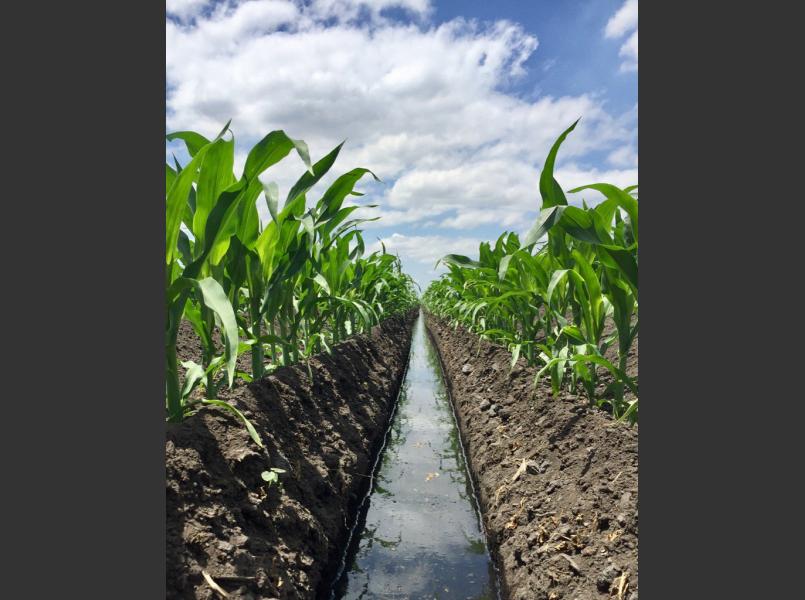
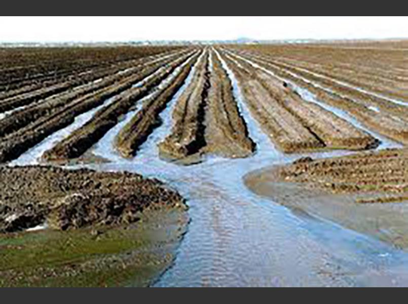
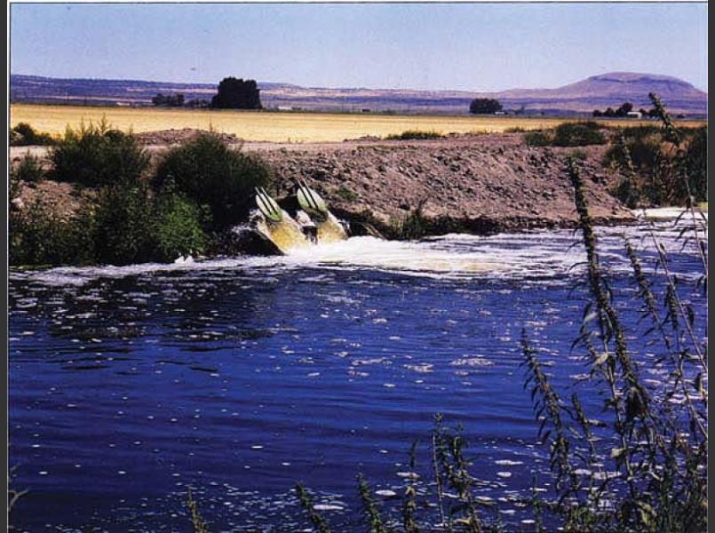
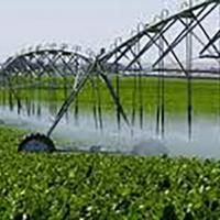
Instrumental to maintaining this landscape change are the 93 reclamation districts formed in the Delta since the early 1900s. Reclamation districts are special districts under California law which assess fees through property tax assessments. These fees fund the maintenance of levees, pumps and other infrastructure to maintain dry enough conditions to grow crops. Typically, large pumps move storm water out of island canals and ditches, through the levee, and into slough or river channels.
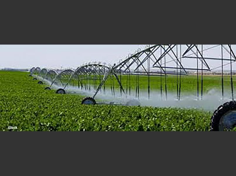
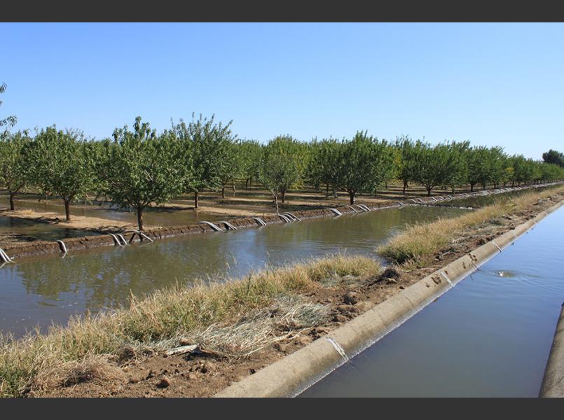
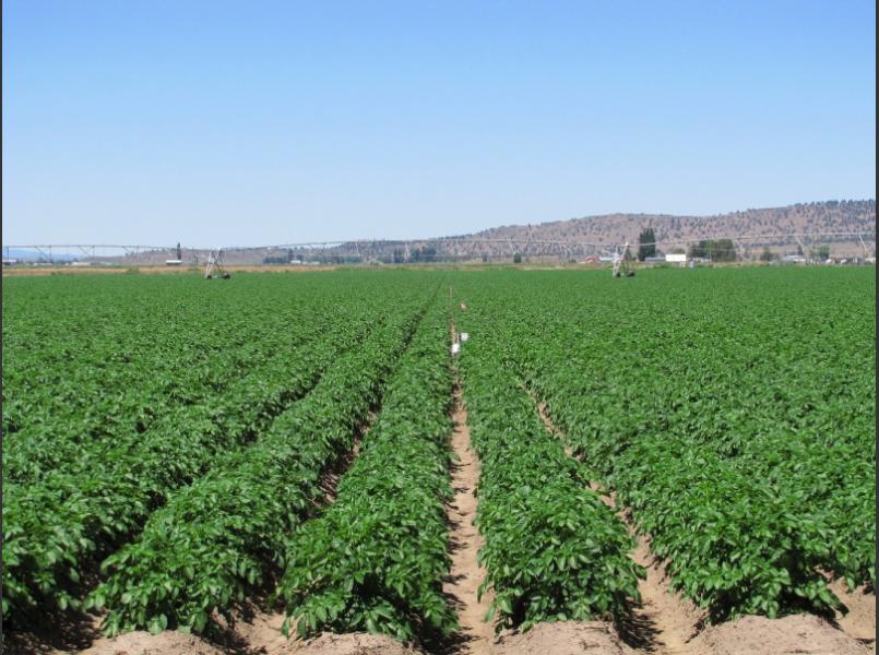
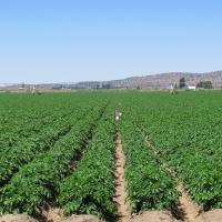
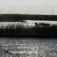
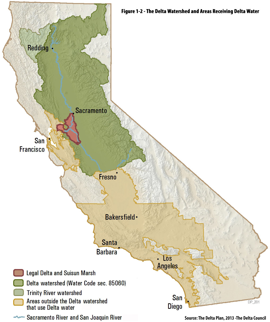
Due to the variable nature of California’s water supply, the Delta is a source of water for urban and agricultural uses for areas stretching the entire length of the state. Water from the Delta reaches approximately 27 million people and 3 million acres of irrigated farmland. In addition to irrigation, urban and recreational use, the Delta is also home to many types of plant and animal species. The management of the Delta considers that these uses depend on clean water and healthy ecosystems.
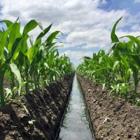
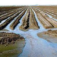
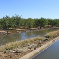
One of the primary environmental issues for agriculture in the Delta is water quality. Delta waterways carry runoff from two large tributaries, the Sacramento and San Joaquin Rivers, as well as a number of local creeks. Water quality in the Delta is affected by all of these inflowing streams as well as by activities in the Delta itself. Agriculture is the largest land use in the Delta and may contribute pesticides, pathogens and nutrients to waterways. Several large urban areas dot the edges of the Delta including the cities of Sacramento, Stockton, Vacaville, Antioch, Oakley and Brentwood. Urban runoff carries pesticides, nutrients, pathogens and other materials into waterways. Additionally, the largest cities have wastewater treatment plants that discharge into waterways of the Delta.
CLSI adapted the FFF program to include sections specific to the Delta on soil conservation, water conservation, irrigation practices, fertilizer use, roads, on farm drainage, stormwater management, groundwater and surface water protection, on-farm habitat enhancement and photo-monitoring.
The Fish Friendly Farming (FFF) Certification Program has received approval from the Central Valley Regional Water Quality Control Board as an alternative pathway for compliance with the Irrigated Lands Regulatory Program (ILRP). This program allows interested farmers to receive recognition for their good stewardship while also simplifying compliance with the Irrigated Lands Regulatory Program. Fish Friendly Farming (FFF) is a voluntary certification program for farmers who may find value in verifying their good land stewardship practices and enjoying reduced regulatory paperwork.
SIGN UP FOR THE FFF PROGRAM HERE.
Check out this informational VIDEO and attend one of our 30 minute ZOOM CALLS to get all of your questions answered about the program.