


Certified Farms
Al Fenaughty Orchards
Website:
Andis Wines
Winery:
Website:
Anns Orchard
Website:
Arrastra Vineyard
Website:
Barsotti Ranch
Winery:
Website:
Batia Vineyards
Website:
Boeger Winery
Winery:
Website:
Boorinakis Harper Ranch
Winery:
Website:
Byecroft Road Vineyard
Winery:
Website:
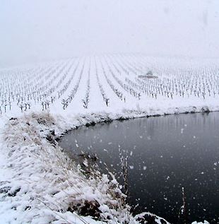
C.G. Di Arie Vineyard and Winery
Winery:
Website:
Cardanini's Vineyard & Pumpkin Patch
Website:
Carson Ridge Evergreens
Winery:
Website:
Caruso Family Vineyards
Winery:
Website:
Cedarville Vineyard
Winery:

Chateau Rodin Vineyards & Winery
Winery:
Website:
Christopherson Vineyard
Website:
Cielo Estate Winery
Winery:
Website:
Clos des Knolls Vineyard
Website:
Cooper Vineyard
Winery:
Website:
Cowan Family Farms
Website:
Crose Family Vineyard
Website:
Crystal Creek Tree Farm
Winery:
Website:
Crystal Springs Vineyard
Website:
D'Artagnan Vineyards
Winery:
Website:
Full Moon Farm
Website:
Goldbud Farms
Winery:
Website:
Green Valley Olive
Website:
Herbert Vineyard
Website:
Hinrichs Farm
Website:
Holly's Hill Vineyards, LLC
Winery:
Website:
J & J Vineyards
Website:
Jack Russell Brewery & Winery
Winery:
Website:

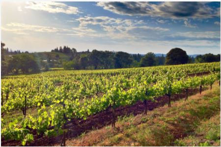
James Vineyards
James Vineyards in Hopland includes a wetland area and wildlife corridor set aside by owner Jim Nelson “just for the ducks”. This land is very plantable and its protection for wildlife demonstrates how individual farmers often put wildlife before profit. In 2007, James Vineyards received an award from Fish Friendly Farming recognizing Outstanding Efforts in Stream Habitat Improvement and Restoration.
Website:
Kingsgate Farm
Website:
La Chouette Vineyards
Website:
Latrobe Vineyards
Website:
Lava Cap Vineyards and Winery
Winery:
Website:
Linsteadt Vineyard LLC
Website:
Mad Dog Mesa
Website:
Madrona Vineyards
Winery:
Website:
Mandarin Hill Orchards
Winery:
Website:
McGee Christmas Tree Farm
Winery:
Website:
Meadow View Gardens
Website:
Meyer Ranch
Website:
Miraflores Vineyard and Winery
Winery:
Website:
Musso Family Vineyard
Website:
Naked Vine Vineyards
Website:
Naylor Vineyard
Website:
Otow Orchard
Winery:
Website:
Pescatore Vineyard and Winery
Winery:
Website:
Pine Hill Orchard
Winery:
Website:
Ponderosa FFA School Farm
Website:
Potter Vineyards Inc
Website:
Quartz Hill Vineyard
Website:
Ranalli Vineyard at Lands End Ranch
Website:
Rancho Olivo Vineyards
Website:
Rinaldi Vineyard
Website:
Rubidoux Ridge Vineyard
Website:
Safari Estate Vineyard
Website:
Saluti Cellars
Winery:
Website:
Saureel Vineyards & Orchard
Website:
Schaefer Vineyards
Website:
Shake Ridge Ranch
Website:
Side Hill Citrus
Winery:
Website:
Sierra Vista Vineyards and Winery
Website:
Site 1 Vineyard
Website:
Site 2 Vineyard
Website:
Skinner Fairplay Vineyard
Winery:
Website:
Skinner Rescue Vineyard
Winery:
Website:
Smokey Ridge Ranch
Winery:
Website:
Sobon Wine - Fiddletown Vineyard
Winery:
Website:
Sobon Wine - Jackson Valley Vineyards
Winery:
Website:
Sobon Wine - Shenandoah Vineyards
Winery:
Website:
Sobon Wine - Sobon Estate Winery and Vineyards
Winery:
Website:
Starfield Vineyard
Winery:
Website:
Sumu Kaw/Enye
Website:
Sun Mountain Farm
Winery:
Website:
Sunset Ridge Mandarins
Winery:
Website:
Tudsbury Orchards
Winery:
Website:
Upcountry Ranch
Winery:
Website:
Vine Hill Vineyards
Website:
Walker Vineyard
Website:
Wild Roam
Website:
Willow Pond Farm
Winery:
Website:
Windwalker Vineyard & Winery
Winery:
Website:
Wofford Acres Vineyards
Winery:
Website:
Z & B Ranch
Website: