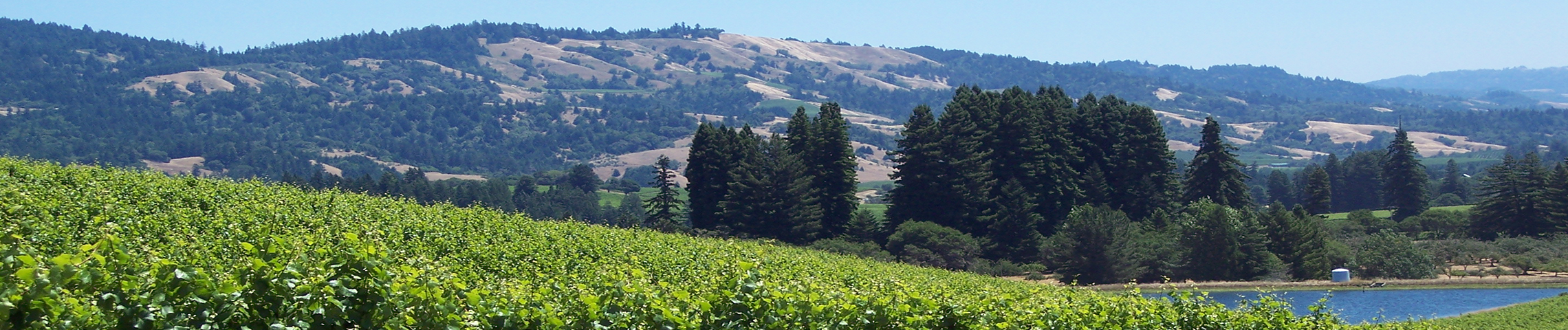


Certified Farms
Anderson Creek Vineyard

Anderson Valley Vineyard
This 62 acre site borders Anderson Creek. Owner Bruce Cakebread has revegetated the entire riparian corridor by planting white alder, Oregon ash, valley oak, black oak, and box elder. See also other Cakebread sites in the Napa River watershed.
Annahala Vineyard
Carney Ranch

Confluence Vineyard
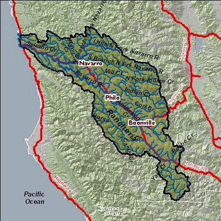
Named for the confluence of Anderson Creek and Rancheria Creek, which with Indian Creek form the Navarro River, the 53-acre vineyard surrounds the Goldeneye tasting room in Boonville. No-till practices, combined with sediment catchment basins, protect water quality.
Dach Pinoli Ranch
Domaine Anderson
Fashauer Ranch
Gowan Creek Ranch
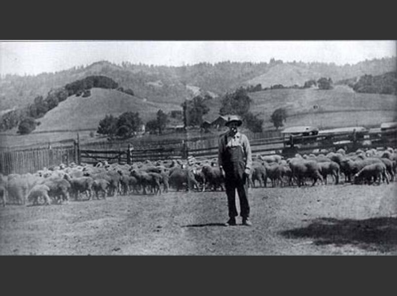
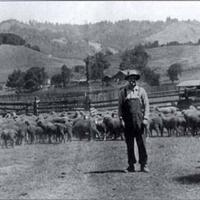
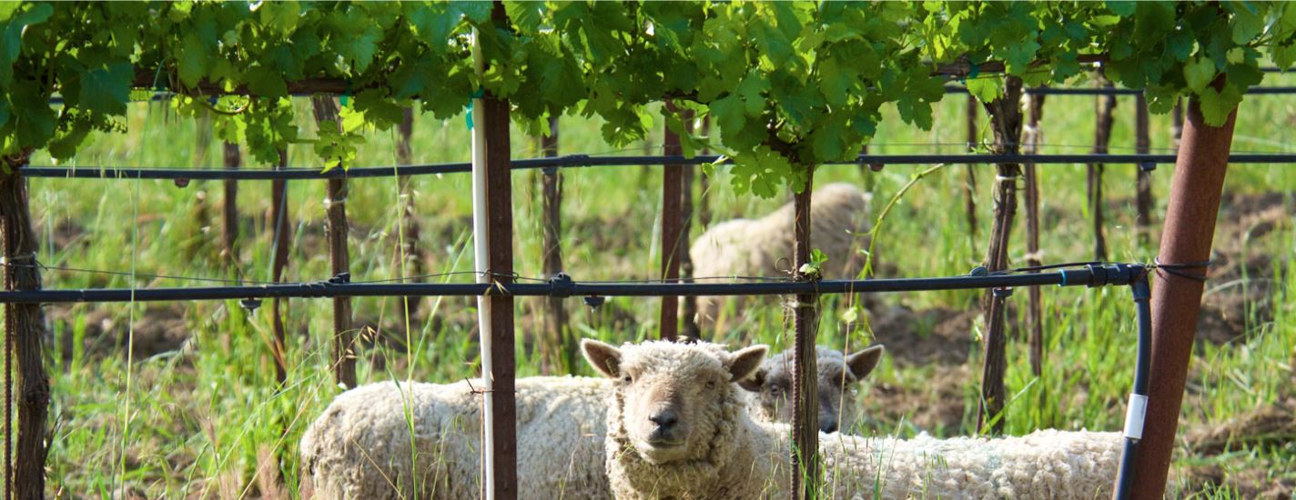
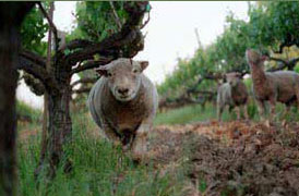
Gowan Creek Ranch is an 80-acre site in central Anderson Valley. Goldeneye Winery converted the property from a thoroughbred horse ranch into a winery and a 38-acre vineyard, bisected by Gowan Creek. The vineyard is managed with sustainable farming practices, including hosting a flock of sheep in the winter as an effective organic alternative to herbicides and fertilizers, while reducing soil compaction and erosion.

Husch Vineyard
Husch Vineyards was the first winery in Anderson Valley and has vineyards planted in the 1970s on the 23-acre home ranch. Third generation owners Zac Robinson and Amanda Robinson Holstine protect all areas of the vineyard with cover crops and no-till practices. Mill Creek and Lazy Creek form the borders of the property and have well-vegetated riparian corridors. Other sites include Nash Mill Vineyard.

Juster Vineyard
Bordered by redwood forest and the Navarro River, this 62-acre former Christmas tree farm contains 25 acres of vineyard. It is managed with no-till practices and organic growing methods to protect water quality and wildlife habitat. Also see Schramsberg in the Napa River watershed.

Lazy Creek Vineyards
This site encompasses 40 acres of organically farmed vineyards, originally planted in 1973 on a 90-acre ranch north of Philo and south of Hendy Woods in the northern end of Anderson Valley. The land was tended by a family who farmed it organically since 1999, managing the land to conserve water and prevent soil erosion. Recently it has come under the management of Ferrari -Carano.
Lost Creek Vineyards
Meyer Family Cellars
This winery borders Rancheria Creek. In 2005, owners Matt and Karen Meyer completed a 2500 ft. native plant revegetation project on Rancheria Creek to remove invasive non-native plants and install riparian trees and increase shade canopy for fish habitat. Big-leaf maple, white alder, Oregon ash, California bay laurel, and willow were all planted.
Nash Mill Vineyard
This small vineyard borders Mill Creek where a saw mill once operated. Nash Mill Vineyard is a small 4-acre vineyard nestled in a forested 40-acre site on Mill Creek, north of Whipple Ridge at the edge of Anderson Valley. Zac Robinson manages this vineyard using no-till methods and cover crops to protect water quality in Mill Creek.
Navarro Fairhills Vineyard

Navarro Vineyards.
This 942-acre site was the first property to be certified in the Fish Friendly Farming Program in 2002. The 90 acres of vineyards are in separately fenced areas to allow wildlife such as mountain lions and deer to use over 800 acres of wildland on the property. Ted Bennett and Deborah Cahn founded the winery in 1973 and have planted hundreds of redwood and Douglas fir trees on the ranch. In 2008, a road outsloping project was completed to reduce sediment delivery to creeks. Navarro has received an award from the Fish Friendly Farming program for Light Touch Vineyard Development and Operation. Other sites include: Pennyroyal Farm.
Ordway's Valley Foothills
Pennyroyal Farms
Pennyroyal Farm is committed to sustainability and modern farming practices. It was conceived as a minimum-waste farm and takes into consideration sustainable design—from constructing solar panels on the barn to ensuring the size of the herd would produce enough manure to be converted into compost for fertilizing the vineyards.
Perkins Clark Ranch
Philo Ranch
This 11-acre vineyard is managed with no-till practices and integrated pest management to protect water quality in the nearby Navarro River. Other sites include Bliss Ranch in the Hopland-Sanel Valley.
Rabbit Run Vineyard

Raye's Hill Vineyard and Winery
Raye and Dan Sokolow manage two acres of vineyard on a 20-acre ridge top property, using no-till methods.
Ridley Vineyards
This small 4-acre vineyard uses integrated pest management and low-volume water irrigation.
Savoy Vineyard
Scharffenberger Cellars
Signal Ridge Vineyards

The Narrows Ranch
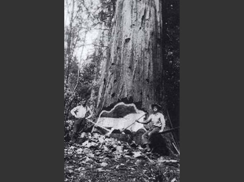
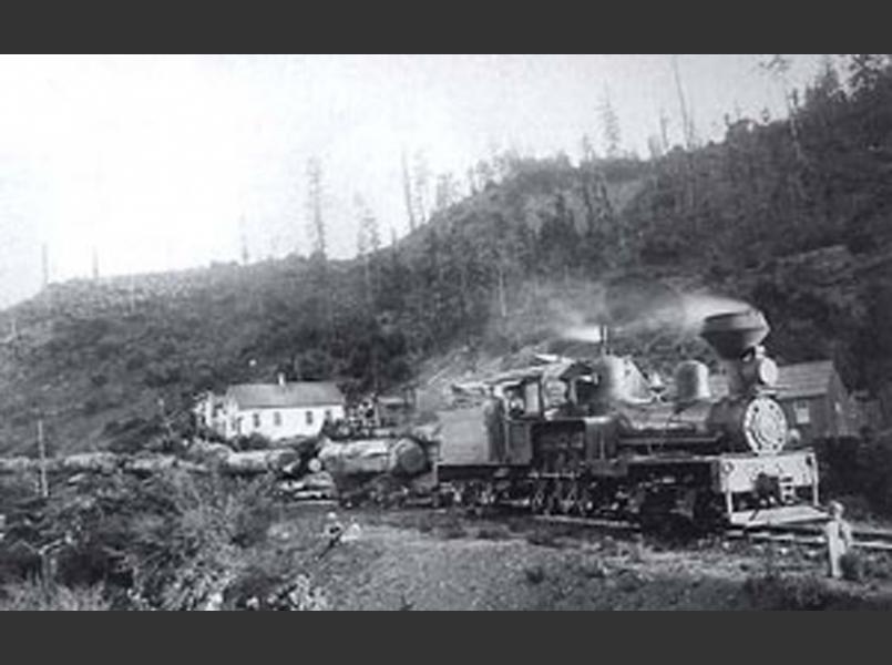
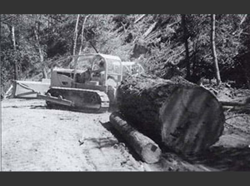
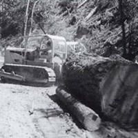
The Narrows Ranch, formerly Floodgate Vineyard, is a 202-acre site with 52 acres of ridge top vineyards in the cooler northern end of the Anderson Valley. Repairs of roads and drainage at the site has been done to address previous land uses, including redwood logging, and to protect the waters of Floodgate Creek, a tributary to the Navarro River.
Walraven Vineyard
Wendling
Wightman Vineyard

Yorkville Vineyard and Cellars
Yorkville Cellars is located in the headwaters of Rancheria Creek, a major tributary of the Navarro River. The 30 acres of vineyard are farmed using organic methods. Owners Deborah and Edward Wallo use miniature Babydoll Southdown sheep rather than herbicides to eat weeds in the vineyard.